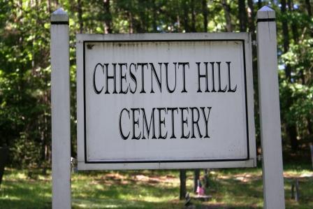
Chestnut Hill Cemetery
Montague, Franklin County, Massachusetts, USA
About
-
Get directions West Chestnut Hill Road
Montague, Massachusetts, USACoordinates: 42.52280, -72.48220 - Cemetery ID:
Members have Contributed
Advertisement
Photos

The Town of Montague refers to this cemetery in MassGIS as Parcel ID: 53-029.
The Massachusetts Historical Commission does not refer to this cemetery in MACRIS.
This burial place is referenced to in the book "Vital Records of Montague, Massachusetts to the end of the year 1849" as G.R.4.
The Town of Montague refers to this cemetery in MassGIS as Parcel ID: 53-029.
The Massachusetts Historical Commission does not refer to this cemetery in MACRIS.
This burial place is referenced to in the book "Vital Records of Montague, Massachusetts to the end of the year 1849" as G.R.4.
Nearby cemeteries

Leverett, Franklin County, Massachusetts, USA
- Total memorials215
- Percent photographed95%
- Percent with GPS0%

Leverett, Franklin County, Massachusetts, USA
- Total memorials63
- Percent photographed81%
- Percent with GPS0%

Leverett, Franklin County, Massachusetts, USA
- Total memorials44
- Percent photographed98%
- Percent with GPS0%

Leverett, Franklin County, Massachusetts, USA
- Total memorials665
- Percent photographed94%
- Percent with GPS0%
- Added: 1 Jan 2000
- Find a Grave Cemetery ID: 90871

Cemetery Photos
This is a carousel with slides. Use Next and Previous buttons to navigate, or jump to a slide with the slide dots. Use Escape keyboard button or the Close button to close the carousel.

Success
Uploading...
Waiting...
Failed
This photo was not uploaded because this cemetery already has 20 photos
This photo was not uploaded because you have already uploaded 5 photos to this cemetery
This photo was not uploaded because you have already uploaded 5 photos to this cemetery
Invalid File Type
Birth and death years unknown.
1 photo picked...
2 photos picked...
Uploading 1 Photo
Uploading 2 Photos
1 Photo Uploaded
2 Photos Uploaded
Size exceeded
Too many photos have been uploaded
"Unsupported file type"
• ##count## of 0 memorials with GPS displayed. Double click on map to view more.No cemeteries found