Kilbride Presbyterian Pioneer Cemetery
Also known as Cumminsville Free Church Presbyterian Cemetery
Kilbride, Halton Regional Municipality, Ontario, Canada
About
-
Get directions Panton Street and 8th Sideroad
Kilbride, Halton Regional Municipality, Ontario CanadaCoordinates: 43.42280, -79.93054 - Cemetery ID:
Members have Contributed
Advertisement
Photos


N Mid Lot 8, Concession 2, Nelson Township
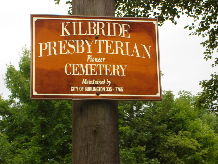
Kilbride Presbyterian Pioneer Cemetery encompasses approximately 1/4 acre. Grounds for the cemetery were purchased in 1848 from James Harris and deeded to the Presbyterian Church of Cumminsville. Open to the country on three sides, a high white picket fence and gate front the opening to the cemetery with about 60 visible monuments of the Irish, Scottish and English settlers of Nelson Township.
The cemetery was refurbished in 1986 and is maintained by the City of Burlington. A transcription was done in 1978 by the Ontario Genealogical Society but a 2011 visit by a Find A Grave volunteer found that many of the stones were no longer visible, having been covered by grass or bushes.
N Mid Lot 8, Concession 2, Nelson Township
Kilbride Presbyterian Pioneer Cemetery encompasses approximately 1/4 acre. Grounds for the cemetery were purchased in 1848 from James Harris and deeded to the Presbyterian Church of Cumminsville. Open to the country on three sides, a high white picket fence and gate front the opening to the cemetery with about 60 visible monuments of the Irish, Scottish and English settlers of Nelson Township.
The cemetery was refurbished in 1986 and is maintained by the City of Burlington. A transcription was done in 1978 by the Ontario Genealogical Society but a 2011 visit by a Find A Grave volunteer found that many of the stones were no longer visible, having been covered by grass or bushes.
Nearby cemeteries

Kilbride, Halton Regional Municipality, Ontario, Canada
- Total memorials67
- Percent photographed67%
- Percent with GPS0%

Kilbride, Halton Regional Municipality, Ontario, Canada
- Total memorials289
- Percent photographed92%
- Percent with GPS0%

Lowville, Halton Regional Municipality, Ontario, Canada
- Total memorials625
- Percent photographed95%
- Percent with GPS0%

Milton, Halton Regional Municipality, Ontario, Canada
- Total memorials12
- Percent photographed42%
- Percent with GPS8%
- Added: 12 Mar 2012
- Find a Grave Cemetery ID: 2441262

Cemetery Photos
This is a carousel with slides. Use Next and Previous buttons to navigate, or jump to a slide with the slide dots. Use Escape keyboard button or the Close button to close the carousel.


Success
Uploading...
Waiting...
Failed
This photo was not uploaded because this cemetery already has 20 photos
This photo was not uploaded because you have already uploaded 5 photos to this cemetery
This photo was not uploaded because you have already uploaded 5 photos to this cemetery
Invalid File Type
Birth and death years unknown.
1 photo picked...
2 photos picked...
Uploading 1 Photo
Uploading 2 Photos
1 Photo Uploaded
2 Photos Uploaded
Size exceeded
Too many photos have been uploaded
"Unsupported file type"
• ##count## of 0 memorials with GPS displayed. Double click on map to view more.No cemeteries found