William Andrews Cemetery
Also known as Andrews Family Cemetery
South Hill, Mecklenburg County, Virginia, USA
About
-
Get directions Whittles Mill Road (VA Hwy 654)
South Hill, Virginia, USACoordinates: 36.78894, -78.13494 - Cemetery ID:
Members have Contributed
Advertisement
Photos
No additional photos.
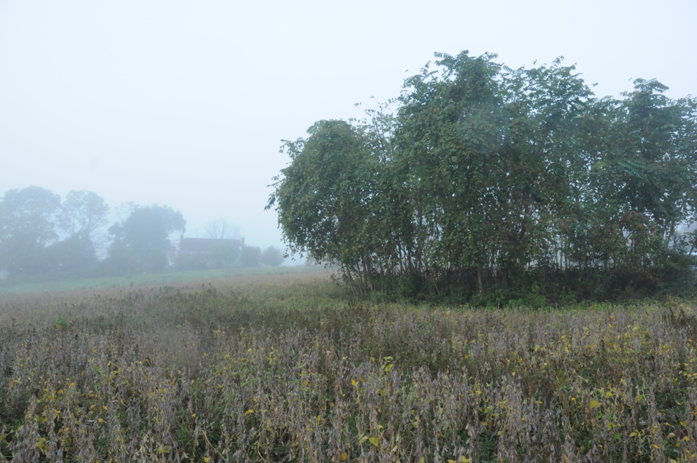
Add PhotosTake South Hill Exit 15 off of Interstate 85 and turn right onto U.S. Route 1 South. Go 2.2 miles through the town of South Hill to Route 47. Turn right onto route 47 and go four miles to Route 654, which is just past Bunky's store on the right. Turn right on Route 654 (Whittle's Mill Road) and after .9 miles you will reach Bridge Road and see a Church on your left on Bridge Road (Route 636). Do not turn left onto Bridge Road, but continue straight on Route 654 (Whittles Mill Road). Go one and one-half miles past the Bridge Road intersection (a very short distance from Bridge Road you will pass the Williams Cemetery on the left - 5 or six large and recent gravestones). After the 1 and 1/2 miles, Whittles Mill Road will turn sharply to the left and then after another 1/4 mile Whittles Mill Road will turn sharply to the right. Then take a left onto a farm dirt road and the William A. Andrews, Sr. land grant will be right in there. You will have to walk up to the old Andrews plantation house which is still standing. Behind the house and up the river sitting on a hill is the Andrews cemetery, where Varney Andrews is believed to be buried. It is between the house and the Meherrin River.
Take South Hill Exit 15 off of Interstate 85 and turn right onto U.S. Route 1 South. Go 2.2 miles through the town of South Hill to Route 47. Turn right onto route 47 and go four miles to Route 654, which is just past Bunky's store on the right. Turn right on Route 654 (Whittle's Mill Road) and after .9 miles you will reach Bridge Road and see a Church on your left on Bridge Road (Route 636). Do not turn left onto Bridge Road, but continue straight on Route 654 (Whittles Mill Road). Go one and one-half miles past the Bridge Road intersection (a very short distance from Bridge Road you will pass the Williams Cemetery on the left - 5 or six large and recent gravestones). After the 1 and 1/2 miles, Whittles Mill Road will turn sharply to the left and then after another 1/4 mile Whittles Mill Road will turn sharply to the right. Then take a left onto a farm dirt road and the William A. Andrews, Sr. land grant will be right in there. You will have to walk up to the old Andrews plantation house which is still standing. Behind the house and up the river sitting on a hill is the Andrews cemetery, where Varney Andrews is believed to be buried. It is between the house and the Meherrin River.
Nearby cemeteries

South Hill, Mecklenburg County, Virginia, USA
- Total memorials17
- Percent photographed82%
- Percent with GPS0%
La Crosse, Mecklenburg County, Virginia, USA
- Total memorials2
- Percent photographed100%
- Percent with GPS100%

South Hill, Mecklenburg County, Virginia, USA
- Total memorials8
- Percent photographed38%
- Percent with GPS0%

South Hill, Mecklenburg County, Virginia, USA
- Total memorials100
- Percent photographed90%
- Percent with GPS12%
- Added: 6 Jun 2011
- Find a Grave Cemetery ID: 2405170

Cemetery Photos
This is a carousel with slides. Use Next and Previous buttons to navigate, or jump to a slide with the slide dots. Use Escape keyboard button or the Close button to close the carousel.
Success
Uploading...
Waiting...
Failed
This photo was not uploaded because this cemetery already has 20 photos
This photo was not uploaded because you have already uploaded 5 photos to this cemetery
This photo was not uploaded because you have already uploaded 5 photos to this cemetery
Invalid File Type
Birth and death years unknown.
1 photo picked...
2 photos picked...
Uploading 1 Photo
Uploading 2 Photos
1 Photo Uploaded
2 Photos Uploaded
Size exceeded
Too many photos have been uploaded
"Unsupported file type"
• ##count## of 0 memorials with GPS displayed. Double click on map to view more.No cemeteries found