Old Weston Cemetery
Also known as Westfield Cemetery
Weston, Wood County, Ohio, USA
About
-
Get directions Euler Road (County Road 23)
Weston, Ohio 43569 United StatesCoordinates: 41.35787, -83.79056 - Cemetery ID:
Members have Contributed
Advertisement
Photos


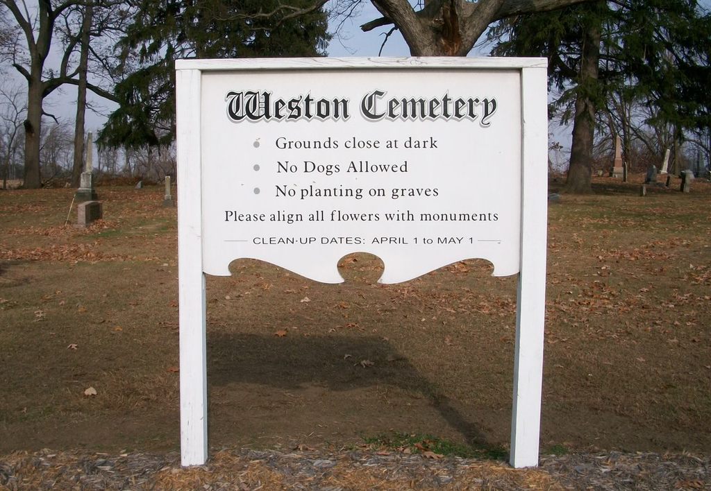
The Original Name for this Cemetery was: Westfield Cemetery, but that name is almost never used anymore (Circa: 2013). The Cemetery is locally known as: the Old Weston Cemetery or Old Westfield Cemetery. The town/village was originally named: Westfield. Then in 1857 the town was re-named: Weston.
The 'New' Weston Cemetery is directly across the street. It is located entirely on the south side of Euler Road. The Main Entrance for the 'New' Weston Cemetery (AKA: Weston Cemetery) is within the Village Limits on Center Street (the southern extension of Van Tassel Road - AKA: Center Street, within the Village limits of Weston).
Generally speaking the Numbering Sequence for the Old Weston Cemetery is as follows: Section 1 Row 1 is closest to the intersection of Euler Road and Silver Street (Southeast corner & East end of the Cemetery). The Sections advance up as you go North through the cemetery. The Rows advance up as you go west along Euler Road.
The cemetery is located in Webster Township, Wood County, Ohio, and is # 12920 (Old Weston Cemetery) in "Ohio Cemeteries 1803-2003", compiled by the Ohio Genealogical Society.
The U.S. Geological Survey (USGS) Geographic Names Information System (GNIS) feature ID for the cemetery is 1731440 (Old Weston Cemetery).
Nearby cemeteries

Weston, Wood County, Ohio, USA
- Total memorials4k+
- Percent photographed79%
- Percent with GPS4%

Grand Rapids, Wood County, Ohio, USA
- Total memorials2k+
- Percent photographed82%
- Percent with GPS2%

Weston, Wood County, Ohio, USA
- Total memorials131
- Percent photographed92%
- Percent with GPS0%

Bowling Green, Wood County, Ohio, USA
- Total memorials1k+
- Percent photographed86%
- Percent with GPS4%
- Added: 10 Nov 2000
- Find a Grave Cemetery ID: 233091

Cemetery Photos
This is a carousel with slides. Use Next and Previous buttons to navigate, or jump to a slide with the slide dots. Use Escape keyboard button or the Close button to close the carousel.


Success
Uploading...
Waiting...
Failed
This photo was not uploaded because this cemetery already has 20 photos
This photo was not uploaded because you have already uploaded 5 photos to this cemetery
This photo was not uploaded because you have already uploaded 5 photos to this cemetery
Invalid File Type
Birth and death years unknown.
1 photo picked...
2 photos picked...
Uploading 1 Photo
Uploading 2 Photos
1 Photo Uploaded
2 Photos Uploaded
Size exceeded
Too many photos have been uploaded
"Unsupported file type"
• ##count## of 0 memorials with GPS displayed. Double click on map to view more.No cemeteries found