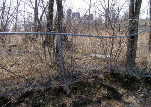
Brockman-Hudgeons Cemetery
Also known as Hudgeons Cemetery , Nelson Cemetery
Camden, Ray County, Missouri, USA
Ray County History 1973, p. 232: Cemeteries Not Listed on Map, #21; south and west of Richmond, on Robert Vandiver farm.
DAR Index: Located near intersecton of West 72nd Street and Vandiver Road
1914 Plat Map: p. 68 section 22, cemetery marked on J.A. Brown farm, west of H.M. Brockman farm
1897 Plat Map: p 32 Section 22, cemetery marked on Asa Brockman farm
Lisa: In the Original land entries, Joe E. Brockman (in 1831) owned the s 1/2 of NE 1/4. Perhaps Joe was his father and Asa inherited the land. However, a Brockman did own the land from 1831 to 1877.
The first burial in the transcription of the cemetery is Elizabeth West May 1866.
The second is Mary D. Brockman Nov 1866 dau. of Asa and Sarah Brockman.
There is a H.G. Hudgins who owned land in Section 14 just "catty corner" from Brockman in 1877. There are Hudgeons, etc buried there.
Nearby cemeteries

Ray County, Missouri, USA
- Total memorials36
- Percent photographed72%
- Percent with GPS0%

Ray County, Missouri, USA
- Total memorials27
- Percent photographed93%
- Percent with GPS0%

Camden, Ray County, Missouri, USA
- Total memorials1k+
- Percent photographed66%
- Percent with GPS1%
- Added: 12 Oct 2006
- Find a Grave Cemetery ID: 2192611

Cemetery Photos
This is a carousel with slides. Use Next and Previous buttons to navigate, or jump to a slide with the slide dots. Use Escape keyboard button or the Close button to close the carousel.
Success
Uploading...
Waiting...
Failed
This photo was not uploaded because this cemetery already has 20 photos
This photo was not uploaded because you have already uploaded 5 photos to this cemetery
This photo was not uploaded because you have already uploaded 5 photos to this cemetery
Invalid File Type
Birth and death years unknown.
1 photo picked...
2 photos picked...
Uploading 1 Photo
Uploading 2 Photos
1 Photo Uploaded
2 Photos Uploaded
Size exceeded
Too many photos have been uploaded
"Unsupported file type"
• ##count## of 0 memorials with GPS displayed. Double click on map to view more.No cemeteries found