Woodlawn Friends Meeting House Cemetery
Also known as Woodlawn Quaker Cemetery , Woodlawn Society of Friends Cemetery
Fort Belvoir, Fairfax County, Virginia, USA
About
-
Get directions Woodlawn Road and Richmond Highway (U.S. Route 1)
Fort Belvoir, Virginia, USACoordinates: 38.71419, -77.14256 - Cemetery ID:
Members have Contributed
Advertisement


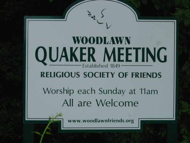
The Lewis estate sold the land in 1848 to Troth & Gillingham, an organization of Quakers who planned to "divide the land into small farms and work them with free labor," according to the inventory. In about 1850, Chalkley Gillingham donated a portion of his land to the Society of Friends for use as a meeting place, a transaction formalized by an 1857 deed. The meeting house, built in 1853, is beautifully preserved. The building and cemetery are surrounded by trees and shrubs and old oaks shade the area. Graffiti scratched into the clapboard by Union soldiers camping at the site during the Civil War has been preserved on the front porch: "1st Mich. Cav.; W. Long Manuyunk, Pa.; A. W., Hepburn, Pa.…"
Most of the Quaker land was taken by the government when the military base Camp A. A. Humphreys was established on the west side of Woodlawn Road during World War I. The meeting house survived, but is now completely surrounded by the base which was renamed Fort Belvoir in the 1930s.
About 50 yards into the woods on the west side of the cemetery is a large mound containing several gravestones and gravestone fragements which have been respectfully arranged, with four gravestones standing upright in the mound and other gravestones and fragments embedded around the sides of the mound. These gravestones had been brought to this site from the Quaker Burying Ground in the City of Alexandria in 1992, as that cemetery was displaced by the construction of the main branch of the Alexandria Public Library.
Fairfax County Cemetery Survey Number: FX138; Virginia State Archaeological Number: 44FX1211
Nearby cemeteries

Fort Belvoir, Fairfax County, Virginia, USA
- Total memorials182
- Percent photographed95%
- Percent with GPS0%
Fort Belvoir, Fairfax County, Virginia, USA
- Total memorials1
- Percent photographed0%

Fairfax County, Virginia, USA
- Total memorials167
- Percent photographed92%
- Percent with GPS1%

Fort Belvoir, Fairfax County, Virginia, USA
- Total memorials155
- Percent photographed77%
- Percent with GPS55%
- Added: 14 Jul 2006
- Find a Grave Cemetery ID: 2182124

Cemetery Photos
This is a carousel with slides. Use Next and Previous buttons to navigate, or jump to a slide with the slide dots. Use Escape keyboard button or the Close button to close the carousel.


Success
Uploading...
Waiting...
Failed
This photo was not uploaded because this cemetery already has 20 photos
This photo was not uploaded because you have already uploaded 5 photos to this cemetery
This photo was not uploaded because you have already uploaded 5 photos to this cemetery
Invalid File Type
Birth and death years unknown.
1 photo picked...
2 photos picked...
Uploading 1 Photo
Uploading 2 Photos
1 Photo Uploaded
2 Photos Uploaded
Size exceeded
Too many photos have been uploaded
"Unsupported file type"
• ##count## of 0 memorials with GPS displayed. Double click on map to view more.No cemeteries found