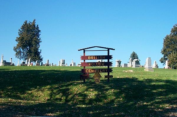
British Hollow Cemetery
British Hollow, Grant County, Wisconsin, USA
About
-
- Cemetery ID:
Members have Contributed
Advertisement
Photos


Sections A – K: The oldest part of the cemetery lies in the middle of the cemetery surrounded by the cemetery road on all sides and the part of the cemetery that lies on the east side of the road as you enter the cemetery. This area of the cemetery is divided into alphabetical sections beginning with Section A and ending with Section K. Section A begins on the south side of the North Road, just down from the West Road, and continues east down the hill. They are not of equal size as attempts were made to keep family groups together.
Blocks 1 – 14: Both sides of the West Road are divided into numbered blocks beginning with Block 1 and ending with Block 14. Block 1 begins at the south end of the cemetery on the east side of the West Road where it connects with the South Road, and goes north all the way to the North Road. Then across the road to the west side of the West Road and heads back to the south ending with Block 14.
Fence Row: The back row of the western part of the cemetery along the fence is copied from south to north, beginning at the south fence and ending at the North Road. This row of stones is not included in the blocked sections.
Blocks 15 and 16: This is the first three rows (copied from south to north) that are above the North Road, starting with the row along the fence.
All of the above areas of the cemetery are listed in the Alphabetical List and are indexed by page on that list.
Newest Part of Cemetery: The newest section of the cemetery begins at the fourth row from the west fence and is copied from south to north beginning from the road heading north toward the northern fence line. These are numbered rows and are in block style on the Locations List.
Please contact the Grant County Genealogical Society in Lancaster, WI for more information.
https://www.grantcowigenealogicalsoc.org/
129 East Maple Street, Lancaster, 53813
Phone: 608-723-4925
Nearby cemeteries

Tennyson, Grant County, Wisconsin, USA
- Total memorials1k+
- Percent photographed91%
- Percent with GPS9%

Potosi, Grant County, Wisconsin, USA
- Total memorials745
- Percent photographed94%
- Percent with GPS23%

Potosi, Grant County, Wisconsin, USA
- Total memorials103
- Percent photographed96%
- Percent with GPS24%

Potosi, Grant County, Wisconsin, USA
- Total memorials567
- Percent photographed87%
- Percent with GPS5%
- Added: 25 Sep 2000
- Find a Grave Cemetery ID: 206455

Cemetery Photos
This is a carousel with slides. Use Next and Previous buttons to navigate, or jump to a slide with the slide dots. Use Escape keyboard button or the Close button to close the carousel.


Success
Uploading...
Waiting...
Failed
This photo was not uploaded because this cemetery already has 20 photos
This photo was not uploaded because you have already uploaded 5 photos to this cemetery
This photo was not uploaded because you have already uploaded 5 photos to this cemetery
Invalid File Type
Birth and death years unknown.
1 photo picked...
2 photos picked...
Uploading 1 Photo
Uploading 2 Photos
1 Photo Uploaded
2 Photos Uploaded
Size exceeded
Too many photos have been uploaded
"Unsupported file type"
• ##count## of 0 memorials with GPS displayed. Double click on map to view more.No cemeteries found