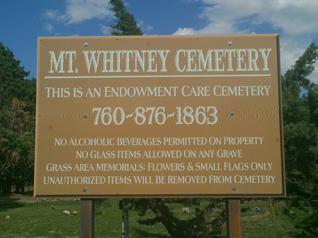
Mount Whitney Cemetery
Lone Pine, Inyo County, California, USA
About
-
- Cemetery ID:
Members have Contributed
Advertisement
Photos


However, the first cemetery established in Lone Pine is now referred to as the PioneerCemetery. The first burials in this location were Mrs. McGuire and her 9 year old son, Johnny, who were both killed in an Indian attack on 1 January 1865. The PioneerCemetery was the main cemetery in Lone Pine until 1884, and it was still an active cemetery up until the year 1914, though it was never fully utilized.
Used in conjunction with the PioneerCemetery was an informal burying ground which is now referred to as the DepotCemetery. The information about the Depot graves was shared by the cemetery district as to its purpose and use. During the spring season of wet years, when the water table level at the PioneerCemetery was too high to allow for burials there, a temporary burying ground at the northern end of town was utilized, now called the DepotCemetery. Then in late summer, when the water table was lower, burials could be disinterred and moved to the PioneerCemetery. However, there are still grave markers existing today at the DepotCemetery, with about 11 burials identified. The DepotCemetery graves are located adjacent to Lone Pine Narrow Gauge Road and are near the remains of a train depot building which stood near the 1883 Carson & Colorado narrow gauge railroad track which ran from Nevada to the town of Keeler. The few marked graves in the DepotCemetery are scattered informally in an open area of high desert terrain and are easy to miss amongst the vegetation when viewing from Narrow Gauge Road.
Nearby cemeteries

Lone Pine, Inyo County, California, USA
- Total memorials20
- Percent photographed80%
- Percent with GPS0%

Lone Pine, Inyo County, California, USA
- Total memorials15
- Percent photographed73%
- Percent with GPS47%

Lone Pine, Inyo County, California, USA
- Total memorials58
- Percent photographed60%
- Percent with GPS52%

Lone Pine, Inyo County, California, USA
- Total memorials27
- Percent photographed67%
- Percent with GPS4%
- Added: 1 Jan 2000
- Find a Grave Cemetery ID: 8186

Cemetery Photos
This is a carousel with slides. Use Next and Previous buttons to navigate, or jump to a slide with the slide dots. Use Escape keyboard button or the Close button to close the carousel.


Success
Uploading...
Waiting...
Failed
This photo was not uploaded because this cemetery already has 20 photos
This photo was not uploaded because you have already uploaded 5 photos to this cemetery
This photo was not uploaded because you have already uploaded 5 photos to this cemetery
Invalid File Type
Birth and death years unknown.
1 photo picked...
2 photos picked...
Uploading 1 Photo
Uploading 2 Photos
1 Photo Uploaded
2 Photos Uploaded
Size exceeded
Too many photos have been uploaded
"Unsupported file type"
• ##count## of 0 memorials with GPS displayed. Double click on map to view more.No cemeteries found