DeForest Pioneer Cemetery
Milton, Halton Regional Municipality, Ontario, Canada
About
-
Get directions Walker's Line and Derry Road
Milton, Halton Regional Municipality, Ontario CanadaCoordinates: 43.45744, -79.91687 - Cemetery ID:
Members have Contributed
Advertisement
Photos


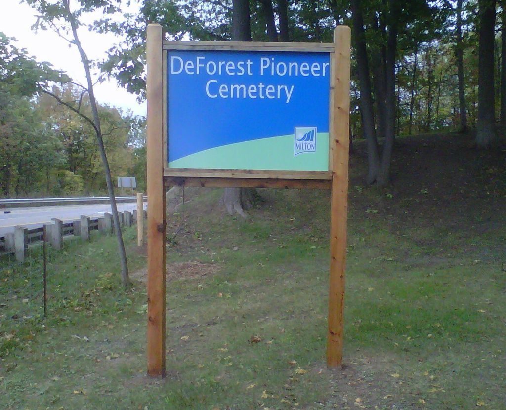
Located on the north-west corner of Walker's Line and Derry Road, DeForest Pioneer Cemetery has about 75 headstones.
The cemetery was originally a family plot named after Abraham DeForest and his wife Elizabeth who emigrated from New York State in the early 1800s and made their home on the 200-acre parcel of land where the cemetery is located.
Abraham DeForest's marker is one of the earliest (dated 1842). The cemetery grew to include other families in the surrounding area and includes names such as Thomson, Sweeney and Campbell. Most are prominent families from the Milton area from 1849 to 1910.
The cemetery is maintained by the Town of Milton.
Nearby cemeteries

Lowville, Halton Regional Municipality, Ontario, Canada
- Total memorials416
- Percent photographed91%
- Percent with GPS4%

Lowville, Halton Regional Municipality, Ontario, Canada
- Total memorials625
- Percent photographed95%
- Percent with GPS0%

Kilbride, Halton Regional Municipality, Ontario, Canada
- Total memorials67
- Percent photographed67%
- Percent with GPS0%

Kilbride, Halton Regional Municipality, Ontario, Canada
- Total memorials100
- Percent photographed89%
- Percent with GPS0%
- Added: 30 Oct 2006
- Find a Grave Cemetery ID: 2194883

Cemetery Photos
This is a carousel with slides. Use Next and Previous buttons to navigate, or jump to a slide with the slide dots. Use Escape keyboard button or the Close button to close the carousel.


Success
Uploading...
Waiting...
Failed
This photo was not uploaded because this cemetery already has 20 photos
This photo was not uploaded because you have already uploaded 5 photos to this cemetery
This photo was not uploaded because you have already uploaded 5 photos to this cemetery
Invalid File Type
Birth and death years unknown.
1 photo picked...
2 photos picked...
Uploading 1 Photo
Uploading 2 Photos
1 Photo Uploaded
2 Photos Uploaded
Size exceeded
Too many photos have been uploaded
"Unsupported file type"
• ##count## of 0 memorials with GPS displayed. Double click on map to view more.No cemeteries found