Taborton Zion Cemetery
Taborton, Rensselaer County, New York, USA
About
-
- Cemetery ID:
Members have Contributed
Advertisement
Photos


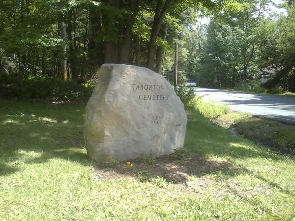
This cemetery sits on a hill up in back of the Zion United Church of Christ, on Taborton Road (County Rt. 42), just across the road from Little Bowman Pond, in Taborton, NY.
Note: For the graves I've added to this cemetery the plot locations are my best estimates, with the rows running north-south parallel to the roadway into the cemetery - row 1 being closest to the roadway, and the highest numbered row being back against the woods bordering the west side of the Cemetery. Grave numbers start at the south end of the row - at the bottom of the hill - and run north (up hill). Until recently, the cemetery was divided into 2 sections - the older, front section, and the newer back section - which were separated by an old stone wall that ran east - west, the east end of which was located between the Meyers family and Connole family plots. This wall extended westward, to the woods.
During the summer of 2013, the Church, which owns the cemetery, began an ambitious project to prepare the newer back portion of the cemetery for more burials. At the same time, they began working on restoring and resetting many of the broken head stones in the front section of the cemetery, the results of which are amazing. During this process, a few gravestones, which had somehow apparently become erroneously relocated, have been moved back to their original locations. Also, some trees and bushes, as well as the old stone walls that ran east-west through the center of the cemetery, separating the front and back sections of the cemetery, and another one that ran up along the left side of the roadway in the back section, have been removed, so the cemetery doesn't look quite the same as it used to. At the time of this writing, the Church's project continues.
John Losee - 10/16/13
Nearby cemeteries

Sand Lake, Rensselaer County, New York, USA
- Total memorials12
- Percent photographed100%
- Percent with GPS0%

Poestenkill, Rensselaer County, New York, USA
- Total memorials6
- Percent photographed100%
- Percent with GPS0%

Poestenkill, Rensselaer County, New York, USA
- Total memorials84
- Percent photographed99%
- Percent with GPS0%

Sand Lake, Rensselaer County, New York, USA
- Total memorials32
- Percent photographed81%
- Percent with GPS0%
- Added: 28 Oct 2005
- Find a Grave Cemetery ID: 2156710

Cemetery Photos
This is a carousel with slides. Use Next and Previous buttons to navigate, or jump to a slide with the slide dots. Use Escape keyboard button or the Close button to close the carousel.


Success
Uploading...
Waiting...
Failed
This photo was not uploaded because this cemetery already has 20 photos
This photo was not uploaded because you have already uploaded 5 photos to this cemetery
This photo was not uploaded because you have already uploaded 5 photos to this cemetery
Invalid File Type
Birth and death years unknown.
1 photo picked...
2 photos picked...
Uploading 1 Photo
Uploading 2 Photos
1 Photo Uploaded
2 Photos Uploaded
Size exceeded
Too many photos have been uploaded
"Unsupported file type"
• ##count## of 0 memorials with GPS displayed. Double click on map to view more.No cemeteries found