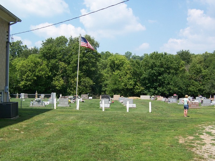
Brownsville City Cemetery
Also known as Brownsville Cemetery , Brownsville Methodist Cemetery , Methodist Episcopal Cemetery , United Methodist Cemetery
Brownsville, Union County, Indiana, USA
About
-
Get directions 216 Main Street / N Brownsville Road
Brownsville, Indiana 47353 United StatesCoordinates: 39.66120, -85.00650 - Cemetery ID:
Members have Contributed
Advertisement
Photos


Indiana Cemetery Locations, Volume 1, published by the Indiana Genealogical Society (02 April 2005), gives the primary cemetery name as United Methodist Cemetery with alternate names of Brownsville Cemetery and Methodist Episcopal Cemetery.
The cemetery is listed in the Cemetery and Burial Grounds Registry of the Indiana Department of Natural Resources (DNR) and in the State Historical Architectural and Archaeological Research Database (SHAARD) with Cemetery Record Number CR-81-2 (Brownsville Methodist).
The Indiana Historic Sites and Structures Inventory (IHSSI) survey number for Brownsville Methodist Cemetery is 161-076-06036 with the dataset compiled in 2008.
The Union County GIS lists the cemetery parcel as having an owner Methodist Church Cemetery with state parcel number 81-06-18-402-037.000-001, parcel number 81-06-18-402-037.000-001, and map number 18-14-14-000-037.000-01. The parcel is 1.4 acres in size.
Route 44towards Brownsville, go past sign showing Brownsville 2 miles before bridge. Turn on Brownsville Rd. Make right on Main St. Church will be on Left. 216 Main St.
Nearby cemeteries

Brownsville, Union County, Indiana, USA
- Total memorials377
- Percent photographed78%
- Percent with GPS0%
Brownsville, Union County, Indiana, USA
- Total memorials6
- Percent photographed17%
Clifton, Union County, Indiana, USA
- Total memorials0
- Percent photographed0%
- Percent with GPS0%

Fayette County, Indiana, USA
- Total memorials52
- Percent photographed71%
- Percent with GPS12%
- Added: 17 Dec 2004
- Find a Grave Cemetery ID: 2130470

Cemetery Photos
This is a carousel with slides. Use Next and Previous buttons to navigate, or jump to a slide with the slide dots. Use Escape keyboard button or the Close button to close the carousel.


Success
Uploading...
Waiting...
Failed
This photo was not uploaded because this cemetery already has 20 photos
This photo was not uploaded because you have already uploaded 5 photos to this cemetery
This photo was not uploaded because you have already uploaded 5 photos to this cemetery
Invalid File Type
Birth and death years unknown.
1 photo picked...
2 photos picked...
Uploading 1 Photo
Uploading 2 Photos
1 Photo Uploaded
2 Photos Uploaded
Size exceeded
Too many photos have been uploaded
"Unsupported file type"
• ##count## of 0 memorials with GPS displayed. Double click on map to view more.No cemeteries found